Why this city page exists
Los Angeles searches are local
Many users start with a city name, ZIP code, neighborhood, or address. This page gives those users a direct Los Angeles entry point without replacing tract-level research.
City sample page
Use this Los Angeles city page to move from local search intent into the California Opportunity Zone source workflow. City, ZIP, and neighborhood research should lead to census tract confirmation before any professional use.
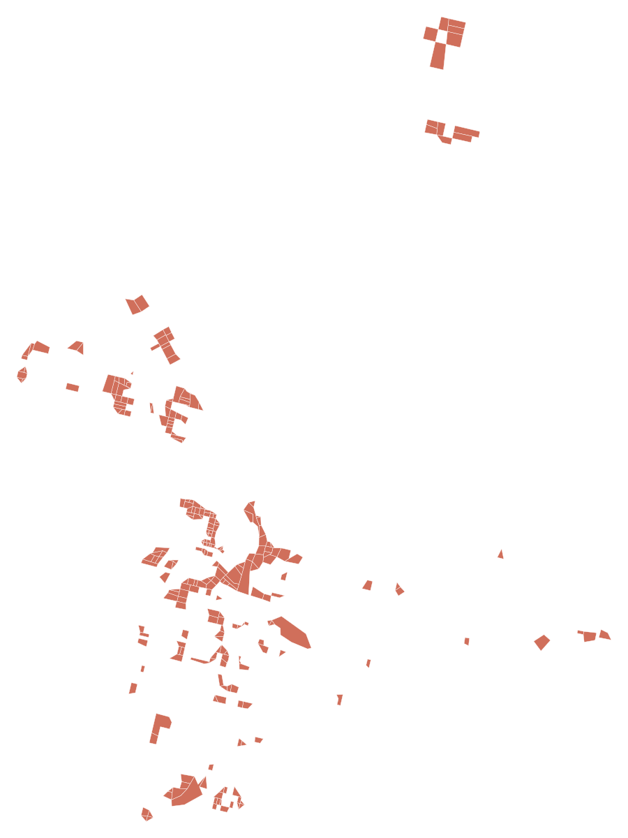
Los Angeles map
Red areas are designated tracts. Zoom and drag the map to read the surrounding streets and neighborhoods.
Direct answer
For a Los Angeles Opportunity Zone map search, use the local map preview to orient the area, then use an address or known tract GEOID to confirm the census tract against California and federal source data. A city name, neighborhood, or ZIP code is not enough for a property-level research note.
Why this city page exists
Many users start with a city name, ZIP code, neighborhood, or address. This page gives those users a direct Los Angeles entry point without replacing tract-level research.
State source path
California DOF files cover designated tracts statewide. Los Angeles research should use those California files together with CDFI, HUD, and Census Bureau source paths.
Lookup limit
Los Angeles city and metro naming can be broader than a specific parcel or tract. Use an address-to-tract workflow for a specific property.
research_sources/data/california-designated-qoz.xlsx - statewide designated tract workbook.research_sources/data/california-designated-qoz-map.pdf - statewide static PDF map reference.research_sources/data/california-qoz-shapefile.zip - statewide shapefile package.research_sources/data/california-qoz-kml.zip - statewide KML package.This page is useful because Los Angeles research often begins with local intent, but the trustworthy answer path is not local naming alone. The page connects city intent to California source files, ZIP research, census tract confirmation, and federal data categories in one workflow.
This page does not provide tax, legal, investment, accounting, or compliance advice. It does not determine property-level outcomes. Read the Disclaimer before using source material for a professional decision.
Use the Los Angeles map as a local orientation layer, then confirm a specific property by matching its address to a census tract and comparing that tract with California and federal source data.
No. A Los Angeles ZIP code is only a starting point because ZIP areas and census tracts do not share the same boundaries. Use ZIP context to narrow the area, then continue to tract confirmation.
Start with California Department of Finance files for the state layer, then cross-check with CDFI Fund, HUD, Census Geocoder, Treasury, IRS, or other official source paths listed on this site.