Enter a ZIP code
Use a familiar postal area to start map research quickly.
ZIP-first tract research
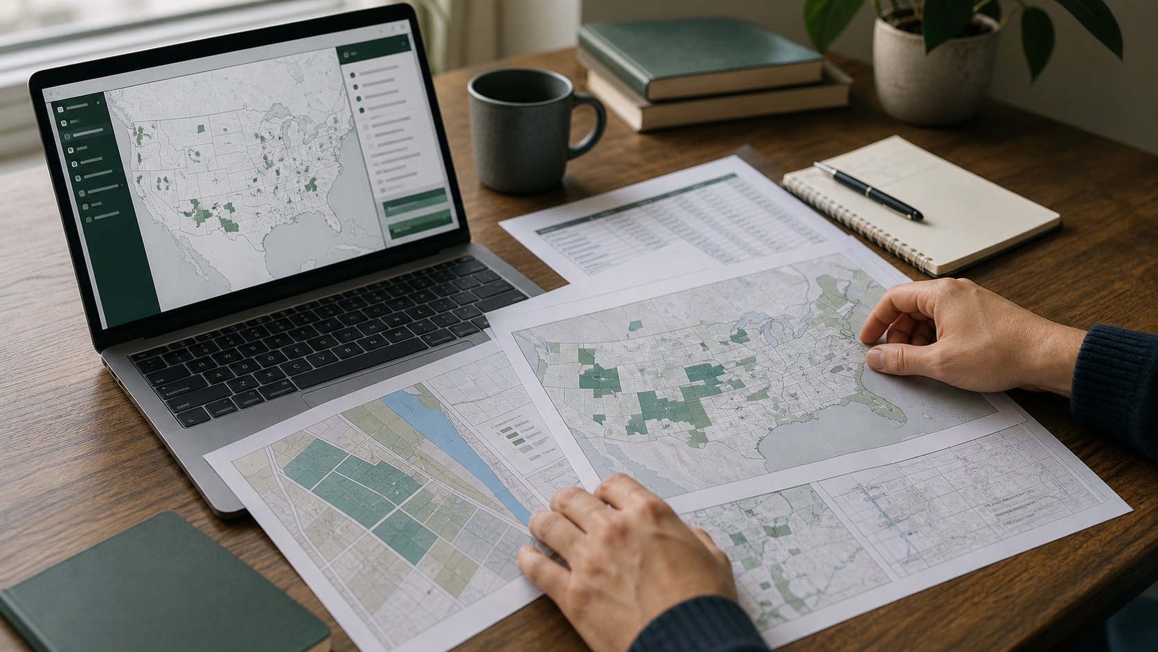
Start with a ZIP code, inspect the map area, then confirm the census tract with source-backed data.
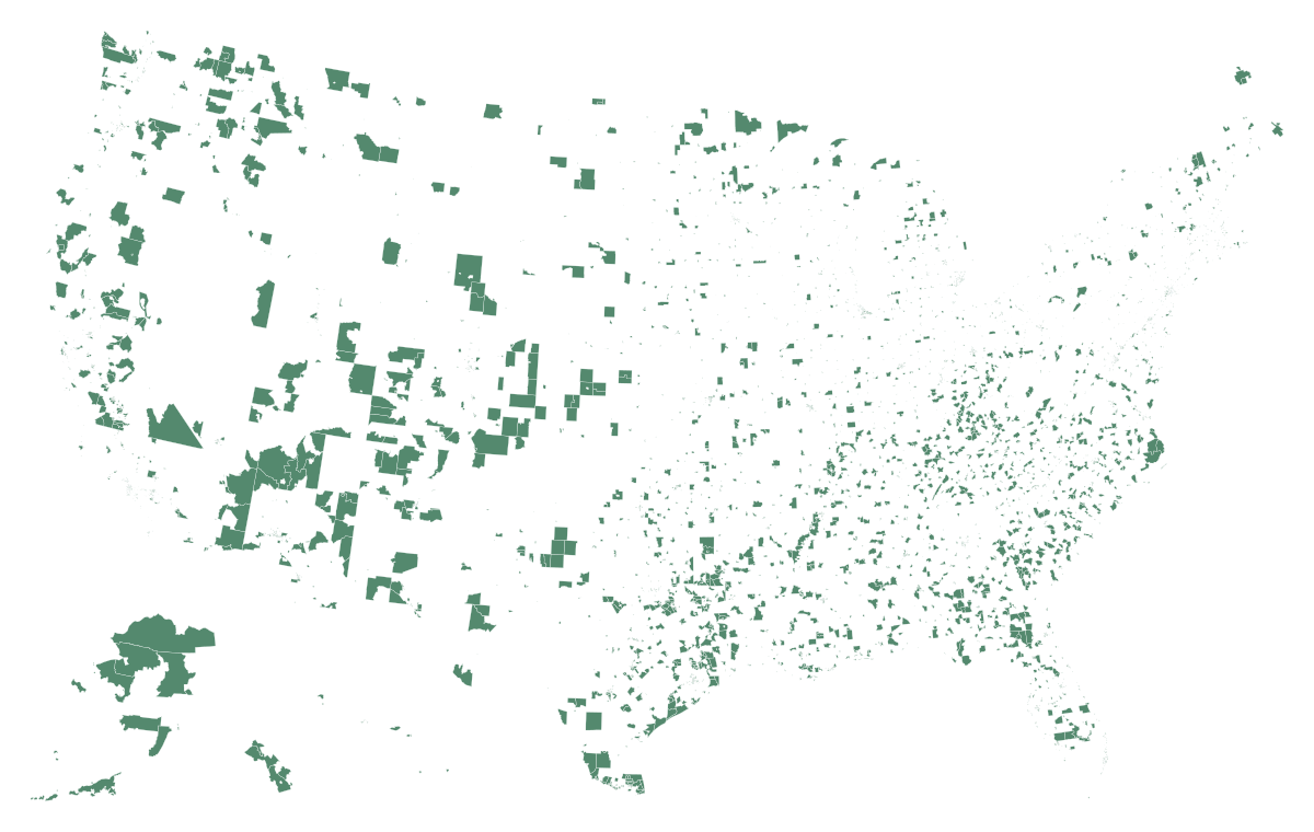
ZIP is the fastest starting point. The final research step is still a census tract comparison against official source data.
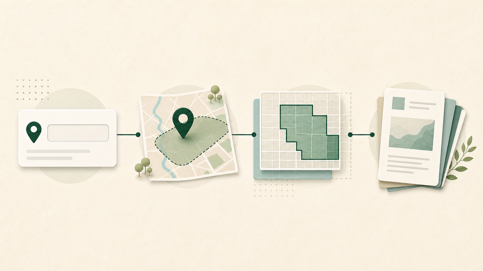
Use a familiar postal area to start map research quickly.
Move from national view to state, city, or local tract context.
Use address-to-tract lookup and official source data before relying on a result.
Carry CDFI Fund and Census source context into deeper research pages.
Local maps are easier to read after the ZIP starting point. Use them for orientation, then confirm a specific property by tract.
Los Angeles map
Red areas are designated tracts. Zoom and drag the map to read the surrounding streets and neighborhoods.
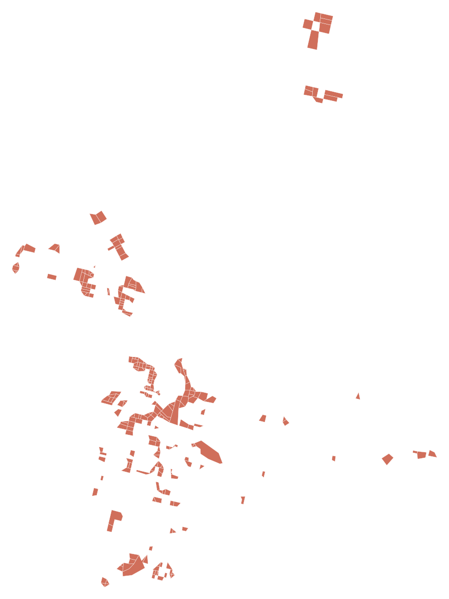
State map, local files, and the Los Angeles local preview.
State source links and OZ 1.0/OZ 2.0 notes.
Federal-source path until local data is verified.
The current map layer is based on CDFI Fund designated QOZ source data. The site is an independent research guide and does not decide tax, legal, investment, or property-level outcomes.
Yes, use a ZIP code to narrow the map area. The final Opportunity Zone check still needs census tract confirmation because QOZ designations are tract based.
No. ZIP codes are postal areas. Qualified Opportunity Zone status is confirmed by census tract and official source data.
No. Opportunity Zone Map Guide is an independent research resource and does not provide tax, legal, investment, accounting, or compliance advice.