Primary state sources
California Department of Finance
California DOF hosts the state Opportunity Zones page and links to the designated QOZ workbook, large-format PDF map, shapefile, and KML files.
State sample page
Use this California page as a source-backed starting point for Opportunity Zone map research. It combines California state resources, downloaded file references, ZIP research guidance, and links into the broader census tract workflow.
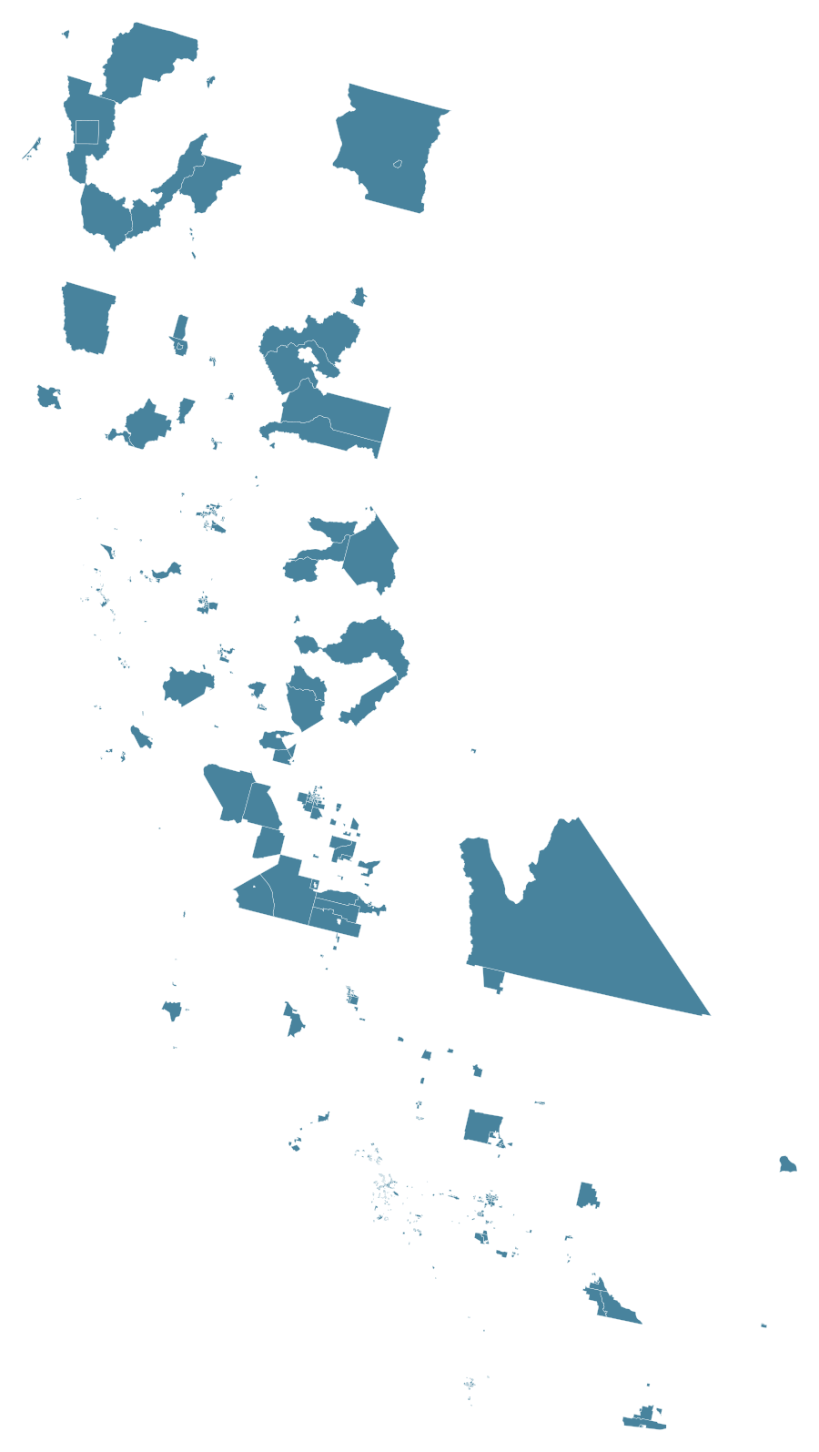
California map
Blue areas are designated tracts. Zoom in before comparing a city, ZIP code, or address.
Direct answer
Use the California map to inspect statewide designated tract patterns and source files. For a specific property or address, move from city or ZIP context to a census tract GEOID, then compare that tract with California and federal source data.
Primary state sources
California DOF hosts the state Opportunity Zones page and links to the designated QOZ workbook, large-format PDF map, shapefile, and KML files.
State program context
California GO-Biz provides state-level Opportunity Zone context, including economic development positioning and newer nomination-process notes.
Federal cross-check
Compare California tract research with federal source paths before using a map result for planning, reporting, or professional review.
The local research source index includes these California files for editorial verification and later map/data workflows:
research_sources/data/california-designated-qoz.xlsx - California designated tract workbook.research_sources/data/california-designated-qoz-map.pdf - California static PDF map reference.research_sources/data/california-qoz-shapefile.zip - California QOZ shapefile package.research_sources/data/california-qoz-kml.zip - California QOZ KML package.This is the State Sample Page for the first launch. It is intentionally more detailed than a directory stub: it points to California source pages, names the downloaded files, links to ZIP and city workflows, and explains the tract-based limit of map research.
This page is not tax, legal, investment, accounting, or compliance advice. For professional-use limits, read the Disclaimer.
Start with California state source files for the map layer, then compare a specific address or tract GEOID with federal QOZ source paths before using the result in a research note.
No. A California ZIP code narrows the local area, but Opportunity Zone status is recorded by census tract. Continue from ZIP context to address-to-tract or known tract GEOID confirmation.
Use this California page for statewide source files, then use the Los Angeles page for local map context and the ZIP research page when the starting clue is a ZIP code.